About : Hiking tour Bourg d’Oisans-Oulles-La Palud-Bourg d’Oisans
Technical information:
Start: Boirond - Les Sables 719m
Altimeters: 1190m
Duration: 8h
Distance: 15km
Level: difficult
Steep up and down.
Follow the path from La Paute to Boirond (signs).
Take the forest road to the left that climbs steeply into the forest and discover the countless ruins of Malaine.
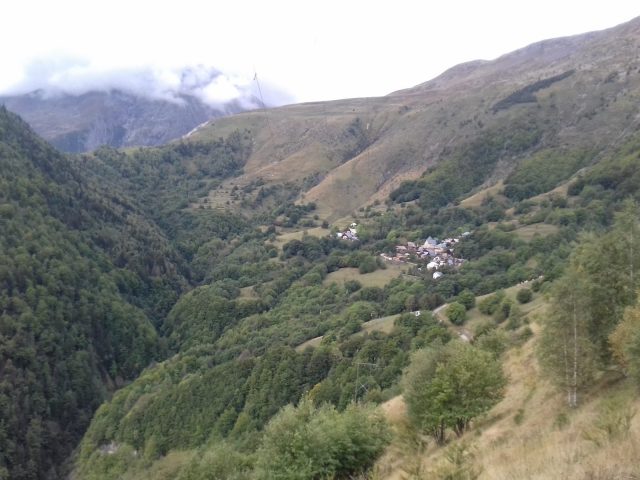
You come out of the forest overlooking the village of Oulles, opposite Taillefer and Grand Galbert, at a place called Le Piret at 1401m (signs).
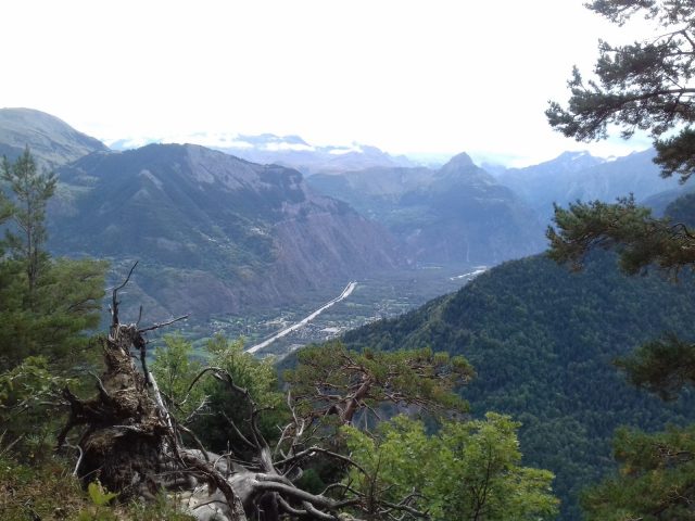
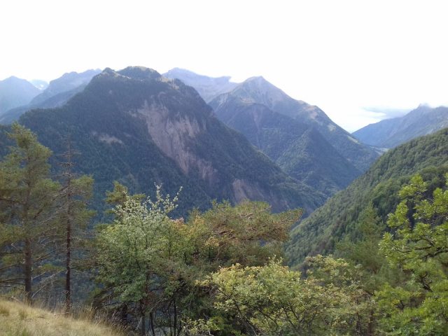
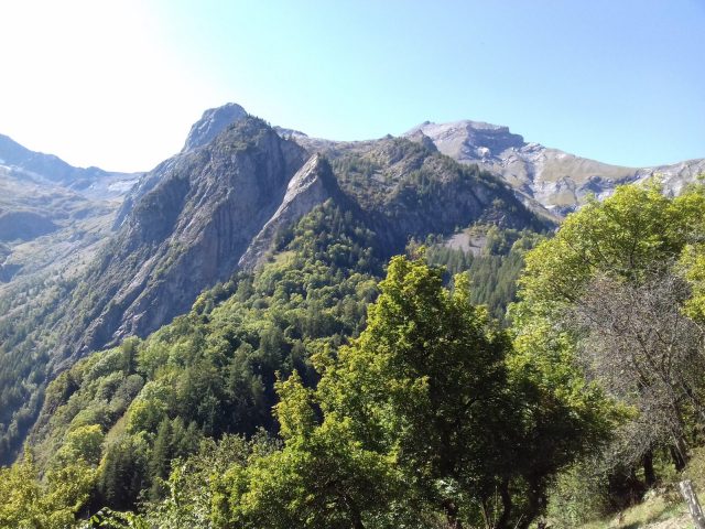
Magnificent view of the Taillefer, the Rochail, the Muzelle, La Meije, the Grandes Rousses ...
Descend to the village on a beautiful path with some benches to rest for a while, then follow the direction of Puy d'Oulles (signs).
Leaving the village, follow the left road and then turn left onto a path in the undergrowth (wooden sign indicating Puy d'Oulles).
There the descent begins at the Combe du Collet, which is quite steep and goes over three streams, at the exit of the forest you come out on a wide path in a bend, before a small cliff surmounted by a stone chapel (several of the same style).
Then follow this path to the left to arrive at Puy d'Oulles (ruins).
Go down left on a wide and steep path to Clos de Balme (or de Barme, as it is called on the map), follow the road for about 600m until the hamlet of La Palud.
Go up left onto the Villard-Reymond road, follow it for a while and then take the path that goes down on the left along the Lignarre, in the direction of La Paute (signs).
You cross the stream twice via pretty walkways, then all you have to do is descend to the road to reach the car park.
En bref
8 h 00
J+ : 1190 m
15 km
Level red – hard
Map and GPX marking
Hiking tour Bourg d’Oisans-Oulles-La Palud-Bourg d’Oisans
Le Bourg-d'Oisans
Services
- Pets welcome
Services
Activities
- Duration of the session: 480 minutes
Tours
- Average duration of the individual tour: 480 minutes
Download
Opening
From 01/05 to 31/10.
Subject to favorable snow and weather conditions.
Prices
Free of charge.


