33939924-diaporama
16942740-diaporama
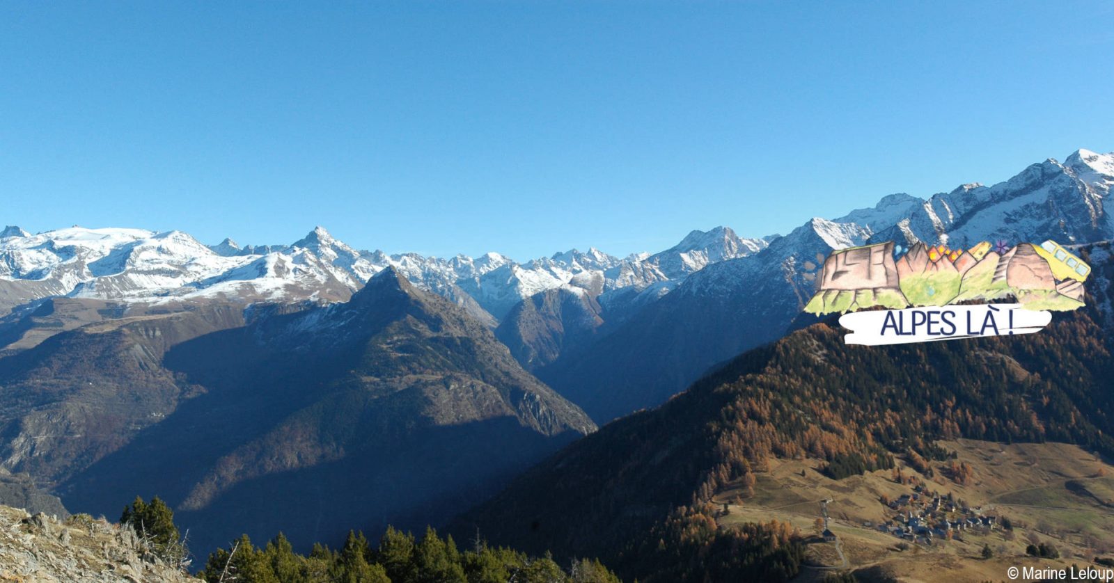
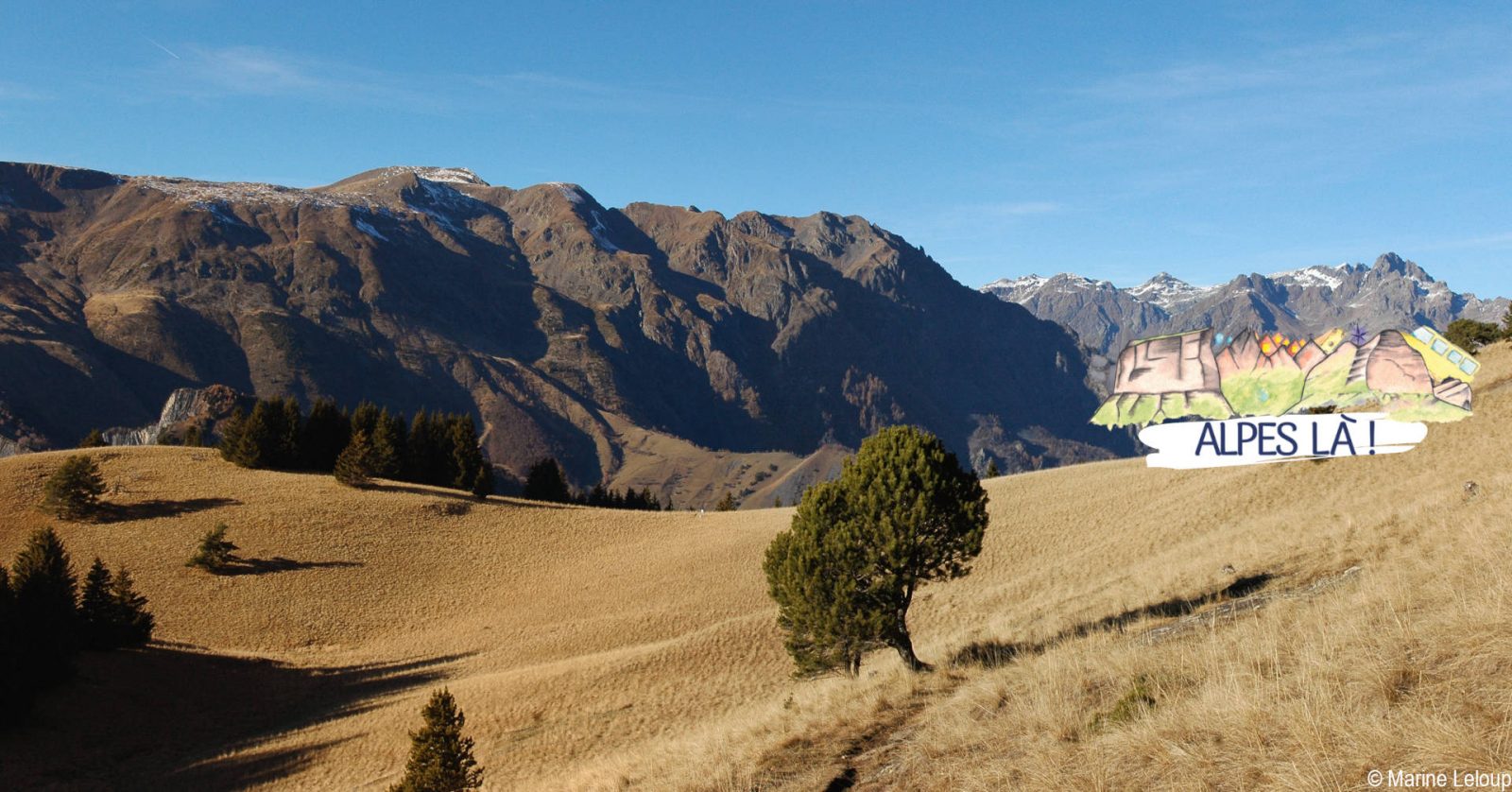
A beautiful route between forests and meadows surrounded by the peaks of the Ecrins.
About : Prégentil – Hiking from Bourg-d’Oisans
TECHNICAL INFORMATION
Departure: Bourg-d'Oisans bus station
Height difference: 1237 m
Round trip time: 6h50 (loop)
Return distance: 14.6 km
Level : Very difficult
ITINERARY
From the bus station, walk 100m towards Bourg d'Oisans town center on the main road (D1091b) to take rue Jean-Baptiste Gauthier (right) and pass the Maison du Parc.
At the crossroads, follow signs for Villard-Reymond, turning right into rue St Antoine, then left into rue "Au-dessus du Bourg" to reach the Merlon.
1) Le Merlon (745 m) - 3 h 10 (4.8 km, D+ 930 m)
After the Salle des Associations, follow a path along the torrent (right bank) without crossing it. Descend a flight of tire steps to cross a merlon (large artificial ditch designed to stop rock falls), then climb into the forest on the hairpin path. Pass the forest hut (alt. 1360 m, simple unenclosed shelter). Follow the signs and arrows (black on yellow).
yellow background). After a meadow, take a wide path to the Col du Solude.
2) Col du Solude (1680 m) - 1 h (2.1 km, D+ 246 m)
[Return trip possible (5 min) to Villard-Reymond].
After enjoying a fine view, take the north-western path leading to the Col de St Jean, just below the north-eastern slope of Prégentil.
Climb to its summit (100 m D+ Orange points).
3) Prégentil (1938 m) - 1 h 45 (4.7 km, D+ 32 m, D- 918 m)
Descend to Col de St Jean, then take the north-west path to cross the Tête des Fromentières meadow. Continue in the direction of Bourg d'Oisans: switch to the forest (heading northeast) and descend via a number of hairpins, first on the west-facing side of the ridge (with an easy cabled passage), then on the east-facing side. The descent continues through the forest on a path that crosses a track at 1270 m, before arriving at the clearing and ruins of Le Puy.
4) Le Puy (1040 m) - 35 min (1.7 km, D- 292 m)
Descend to the point on the south path (right): once down to the Alberts torrent, ford it (go up 5m).
5) Le Merlon (745 m) - 10 min (0.7 km, D- 30 m)
Return to the bus station via the Maison du Parc.
Return to Bourg d'Oisans - Gare Routière (718 m)
Visitor alert
A car-free hike where you can take the bus to and from the site. Make sure you know the time and day of traffic before you leave.
En bref
6 h 50
J+ : 1237 m
14.6 km
Level black - very hard
Map and GPX marking
Prégentil – Hiking from Bourg-d’Oisans
Le Bourg-d'Oisans
Services
- Pets welcome
Services
Activities
- Duration of the session: 410 minutes
Tours
- Average duration of the individual tour: 410 minutes
Opening
From 01/05 to 30/09 daily.
Subject to favorable snow and weather conditions.
Prices
Free access.