
Saint Christophe en Oisans and La Bérarde
Saint Christophe en Oisans and La Bérarde
Saint Christophe en Oisans and La Bérarde
Saint Christophe en Oisans and La Bérarde
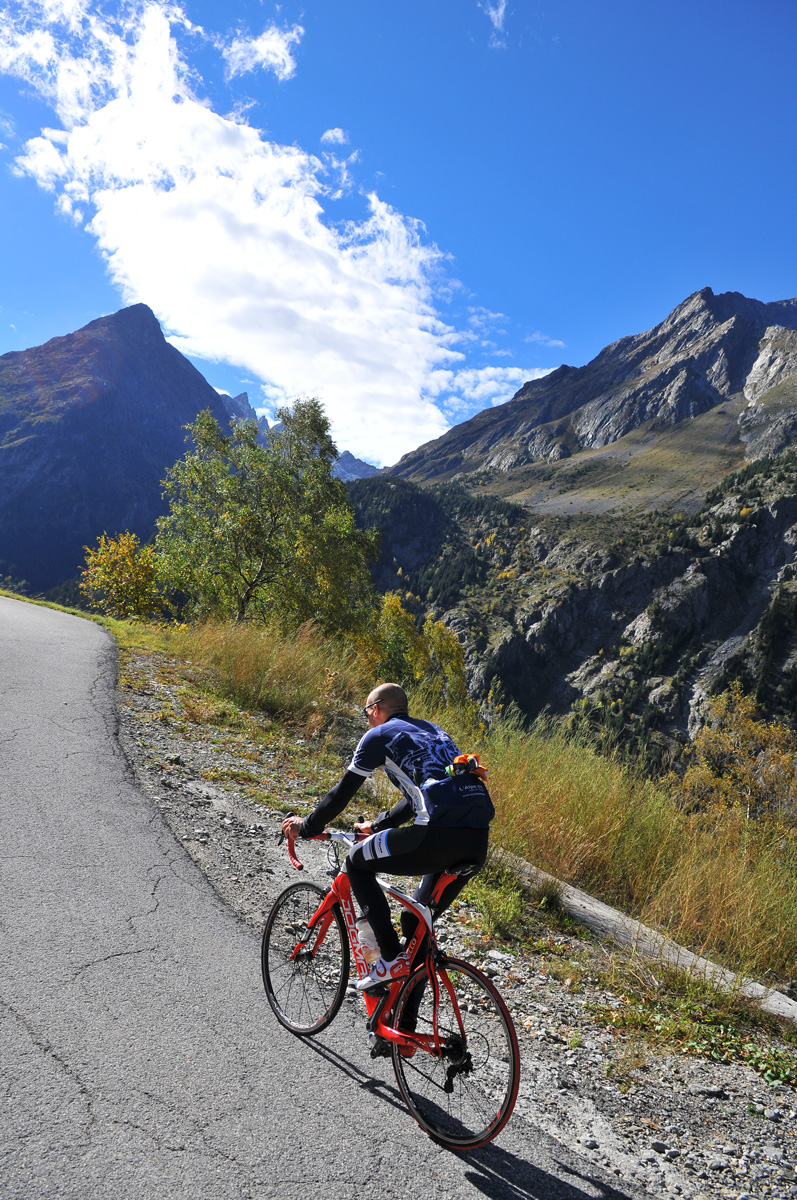
La Bérarde is at the end of the road and literally at the end of the world! An extraordinary road in the midst of a high mountain landscape. A steady slope allows you to admire the view. Your calves will probably remember two more strenuous sections!
About : Saint-Christophe-en-Oisans and La Bérarde
This route is available on the “Vélo en Oisans” map (Oisans Tourisme)
Departure / Arrival: Bourg d’Oisans 720 m
Time: 4 h
Distance (R/T): 66 km
Highest point: 1715 m
Lowest point: 720 m
Total ascent: 1250 m
Max. gradient: 11%
Map: Michelin Local Map no. 333 Isère, Savoie
ITINERARY
From Bourg d’Oisans, follow the road D1091 towards “Briançon / Les 2 Alpes” as far as “Clapier d’Auris”.
Turn right and follow towards “Venosc / Saint Christophe en Oisans - La Bérarde”. From there, you cannot go wrong, there is only one track.
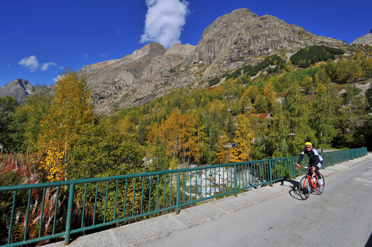
After Bourg d’Arud, a slope with an 11% gradient over 3 km will lead you to the “Plan du Lac”. Take advantage of the ride alongside the turquoise waters of the Vénéon River to recover. Then, after 3 kilometres, the road begins a new series of hairpin bends (11% gradient over 3 km) to reach Saint Christophe en Oisans.
From here, a narrow balcony road leads without effort to La Bérarde and opens up on to one of the most spectacular landscapes of the Alps, including the majestic South-Western slope of the Ecrins mountains (4 102 m) which reveals all its splendour! (Or should we say just a part of it...)
Welcome: The upper part of the D530 departmental road is closed in winter. The winter closure takes place 3 km after the village of St Christophe, at the Champhorent hamlet.
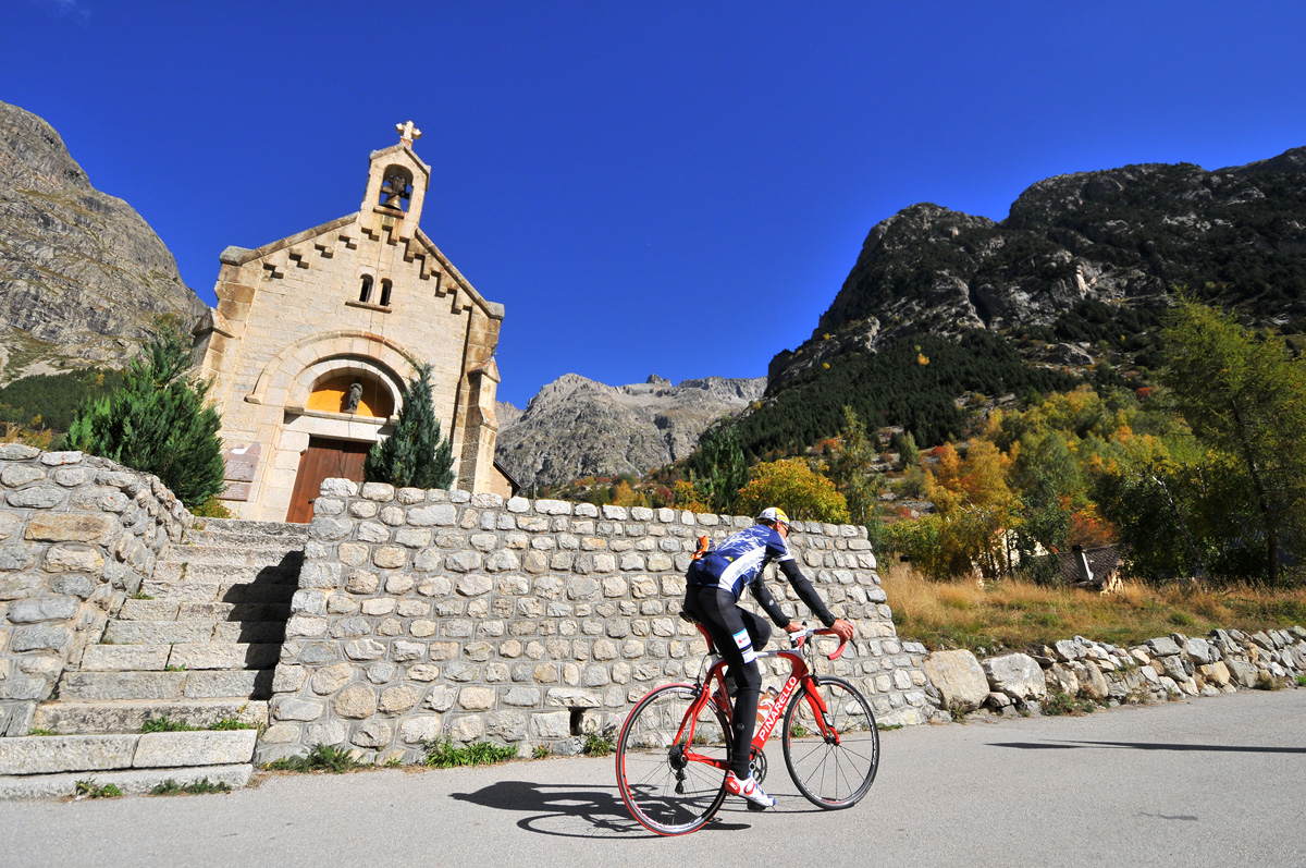
History, culture and heritage
This legendary road was built in several sections; the last section, which leads to the hamlet of La Bérarde, was completed in 1921.
En bref
4 h 00
J+ : 1250 m
66 km
Level red – hard
Map and GPX marking
Saint-Christophe-en-Oisans and La Bérarde
Le Bourg-d'Oisans
Facilities
- Public WC
- Defibrillator
- Charging station for 2 electric wheels
Services
Activities
- Duration of the session: 240 minutes
Tours
- Average duration of the individual tour: 240 minutes
Download
Opening
From 05/01 to 10/31 : open daily.
Depending on snow conditions