Chemin historique de Villard Notre Dame – Hiking from Le Bourg-d’Oisans_Le Bourg-d’Oisans
This itinerary is the old mule track leading to Villard-Notre-Dame. This historic path is very gradual and winds through the cool undergrowth, passing the famous Gardette mines.
About : Chemin historique de Villard Notre Dame – Hiking from Le Bourg-d’Oisans
TECHNICAL INFORMATION
Start: Bourg-d'Oisans motocross course, 730m
Difference in altitude: 720m
Round trip time: 5h50
Return distance: 7.2 km
Level: difficult with aerial sections
MAP AND TOPO
IGN map 3336ET
Topo guide l'Oisans au bout des pieds n°1 sentier 623
Itinerary: Start from the motocross course at Bourg-d'Oisans, follow the signs for Villard-Notre Dame, a path with many switchbacks. Vertiginous passage just before the Gardette mines secured by a cable, then forest climb to the Combe de la Balme, then finish with the arrival at Villard Notre Dame.
TO SEE ON THE ROUTE
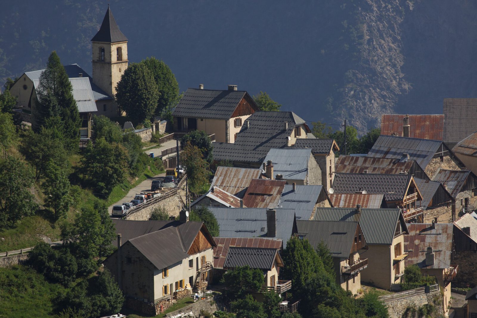
The Gardette mines
En bref
2 h 50
J+ : 720 m
7.2 km
Level red – hard
Map and GPX marking
Chemin historique de Villard Notre Dame – Hiking from Le Bourg-d’Oisans
Le Bourg-d'Oisans
Services
- Pets welcome
Services
Activities
- Duration of the session: 170 minutes
Tours
- Average duration of the individual tour: 170 minutes
Download
Opening
From 01/05 to 31/10 daily.
Subject to favorable snow and weather conditions.
Prices
Free access.