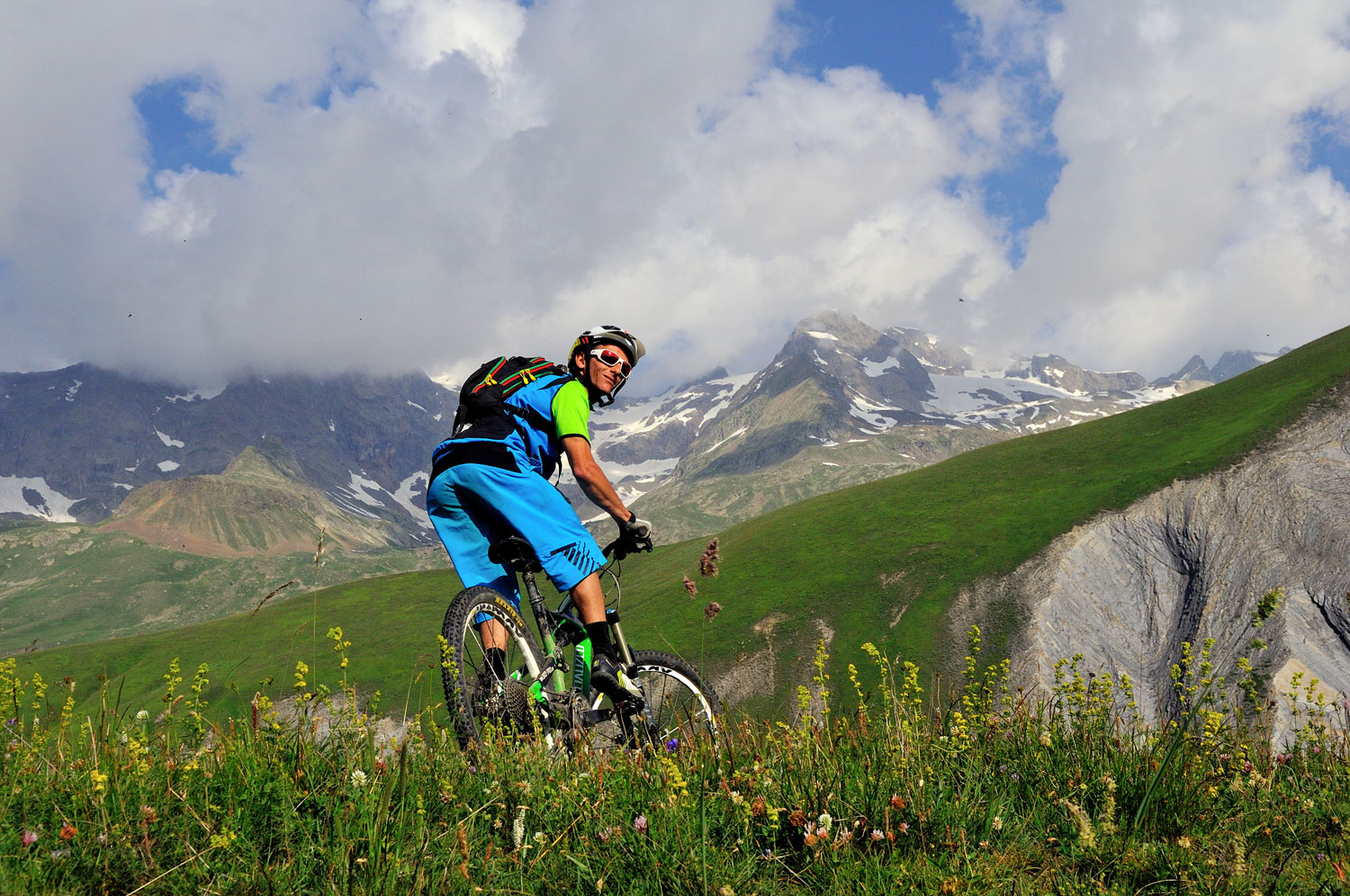
3909219-diaporama
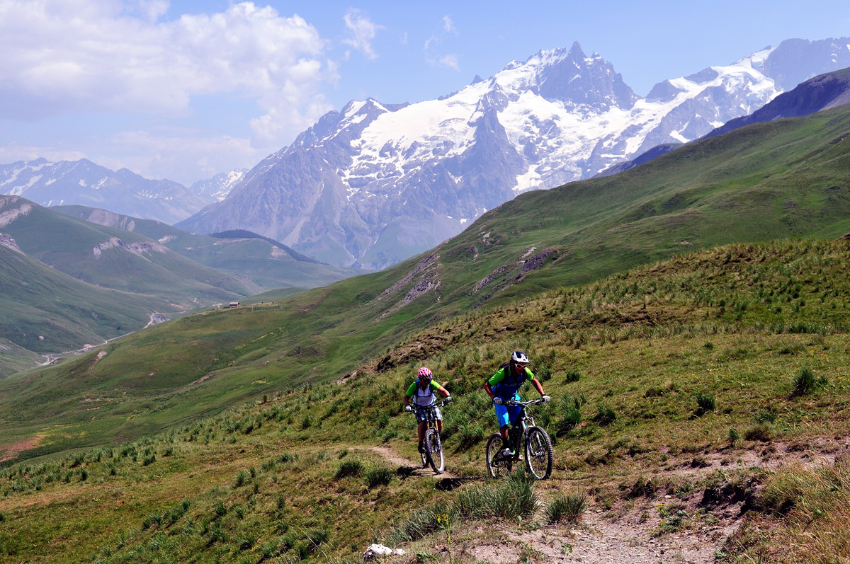
1550068-diaporama
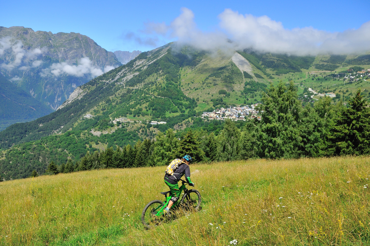
1550069-diaporama
This is a demanding 3-day ride linking the Col du Galibier to Bourg-d’Oisans, via the Emparis Plateau and the untamed valleys of La Buffe and Le Ferrand. Riders gradually return to civilisation as they arrive near the Grandes Rousses.
About : Crossing Oisans
Route in the “MTB in Oisans” guide (Oisans Tourisme)
Departure: Col du Galibier, 2620 m
Arrival: Le Bourg-d'Oisans, (720 m)
Time: 3 days
Distance: 137 km
Highest point: 2620 m
Lowest point: 710 m
Total ascent: + 4099 m
Total descent: - 6000 m
Technique: 2/4
Endurance: 4/4
Maps: Top 25 3435 ET Valloire Aiguilles d’Arves / Top 25 3335 ET Bourg d’Oisans Alpe d’Huez.
---
DAY 1 - LE GALIBIER > BESSE
Departure: Col du Galibier, 2620 m
Arrival: Besse-en-Oisans, 1550 m
Time: 6 hours
Distance: 48 km
Total ascent: +,1262 m
Total descent: -,2322 m
A ride across the mountains that will whet your appetite!
> You may well “lose” time due to the exceptional views around you, so be generous with your time schedule, allowing for any number of stops to admire La Meije and its glaciers from a variety of viewpoints.
> Start off with a gentle, downhill ride on the lovely track from the Col du Galibier to the Col du Lautaret. From Le Lautaret, follow the signs down to «Pied du Col / Villar d’Arène». Once at Le Pied du Col, follow signs up to Les Cours as far as Aiguillon (passing close to the Lac du Pontet).
> After a lovely descent from Aiguillon down to the hamlets of Valfroide, take the narrow road that links the hamlets of La Grave until Le Chazelet. From Le Chazelet, ride up to the end of the untamed valley of La Buffe. Once at the Baraque de la Buffe, start the climb up to the Emparis Plateau. Ride over to Besse via the Col St-Georges, ending this first day with a lovely descent through pastureland to Besse.
> Besse-en-Oisans is a small, traditional village offering a range of services that will be much appreciated after this first day (including a grocers, gites, bed and breakfasts, a bakery... and the Maison des Alpages museum).
---
DAY 2 - BESSE > HUEZ
Departure: Besse-en-Oisan,s 1550 m
Arrival: Huez, 1450 m
Time: 7 hours
Distance : 42 km
Total ascent: + 1705 m
Total descent: -1 816 m
A tough day!
> From Besse, ride up the track towards “Bonnefin” and the St-Sébastien oratory. Carry on up to the Col de la Valette (2291 m) staying on the path cut out of the mountainside. You then reach the chalets of la Valette (2312 m), before continuing up to the Col de Fond Ferrand / Echine de Praouat and over into the Ferrand Valley. A section where you have to carry your bike, due to the steep, narrow path, awaits you near the summit.
> From the top, the descent is magnificent via the Ferrand Valley to Pont Ferrand and then Clavans-le-Bas.
> From Clavans, continue on the road to Mizoën. After 600 m, take the small path up to the right, signposted «Oratoire du Follet / Puy-le-Bas”. Follow this narrow balcony path to Puy-le-Bas, above the Romanche river. From Le Puy (Le Freney-d'Oisans), carry on upwards towards Les Cours via the Croix de Trévoux. From Les Cours, take the road to the resort of Auris-en-Oisans. At La Chapelle St- Giraud, you can take the small path just above the road. From Auris, carry on climbing up to the Col de Maronne and then take the lovely path to Le Rosay, before plunging down the Sarenne valley on a demanding, technical track. Ride to the village of Huez via the Roman Bridge to finish this second day.
Huez is the historical village of the Alpe d’Huez ski resort. Accommodation comprises a hotel/restaurant, overnight gite and bed-and-breakfast, and there is a grocer’s store for supplies.
---
DAY 3 - HUEZ > LE BOURG-D'OISANS
Departure: Huez en Oisans, 1550 m
Arrival: Le Bourg d’Oisans, 720 m
Time: 5 hours
Distance: 47 km
Total ascent: + 1168 m
Total descent: - 1897 m
Back to civilisation.
> From Huez, ride up the Sarenne gorge to the Pont de Sarenne bridge and follow the tarmac road up to Alpe d’Huez. Take the Avenue du Rif Nel up to the top of the resort and carry on along the Route des Lacs to the Col du Poutran and then up to the arrival point of the «DMC» cable car. Ride behind the cable car station and take the path marked «XC 11» to L’Alpette and carry on along the EN 7 path to Vaujany via Montfrais and Roche Melon (a technical and highly enjoyable section).
> Ride through Vaujany and follow the EN 8 signs to the Lac du Verney and then Allemond. The path starts shortly after the church as you leave Vaujany. Once at the lake, take the right-hand bank via the himalayan foothbridge.
> Once in Allemond, carry on to Le Bourg-d’Oisans via Rochetaillée and the renowned Roman Road, which you follow to la Paute, before arriving in Le Bourg-d’Oisans on a path that runs alongside the cliff.
En bref
6 h 00
J+ : 4099 m
137 km
Level black - very hard
Map and GPX marking
Crossing Oisans
Le Bourg-d'Oisans
Services
Tours
- Average duration of the individual tour: 360 minutes
Opening
From 01/06 to 31/10.
Subject to favorable snow and weather conditions.
Location supplement
You need to arrange to be dropped at the Col du Galibier or else leave your car at the Henri Desgranges marker just below the Col. Remember to book your accommodation in Besse en Oisans and Huez well ahead of your ride.