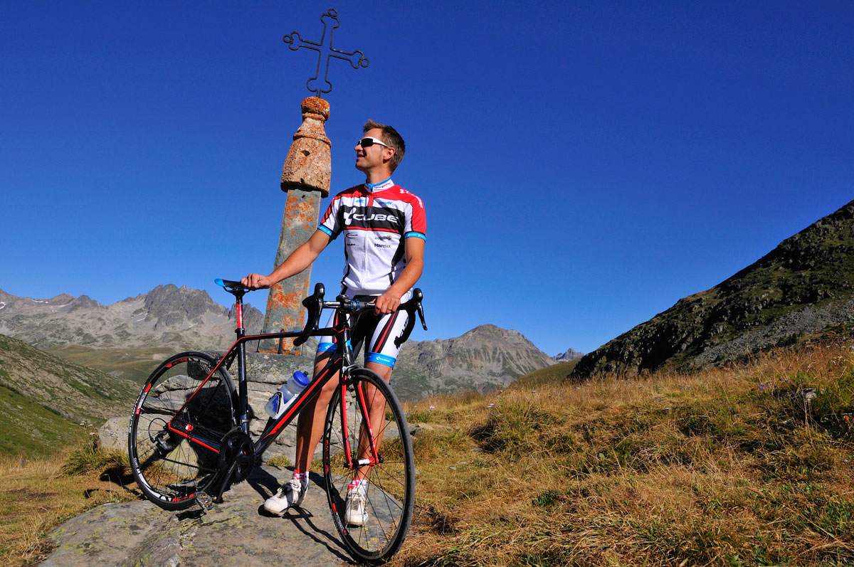
908957-diaporama

1373110-diaporama
1373109-diaporama
1373111-diaporama
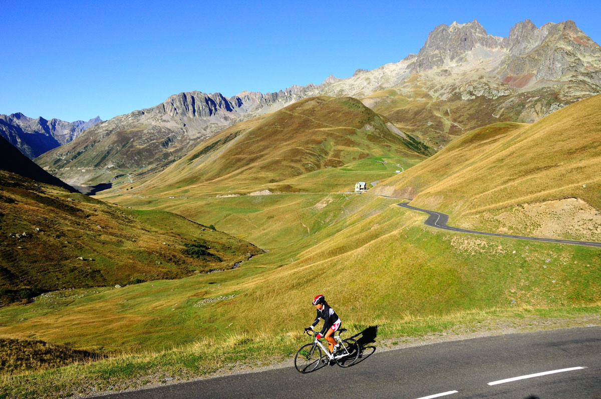
A beautiful tour in the Eau d'Olle Valley that will lead you to the borders of Oisans on the Savoy side. The climb is steep up to the Lake Grand Maison. Your calf muscles will certainly remember some of the sections. But once on the top, what a joy!
About : Col de la Croix de Fer – Col du Glandon
Itinerary available on “Vélo in Oisans” map (Oisans Tourisme)
Departure / Arrival: Bourg d’Oisans 720 m
Time: 3 h 45
Distance (R/T): 80 km
Highest point: 2071 m
Lowest point: 710 m
Total ascent: 2086 m
Max. gradient: 12%
Map: Michelin Local Map no. 333 Isère, Savoie
ITINERARY
From Bourg d’Oisans, follow the D1091 towards Grenoble.
In Rochetaillée follow the route to “Allemond / Col du Glandon - Col de la Croix de Fer”.
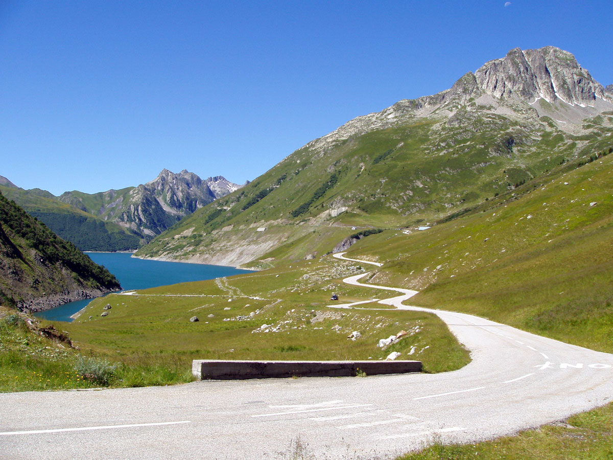
On leaving Allemond, climb up 2 hairpin bends to get to the top of the Verney dam. At the end of the dam, the route towards “Col du Glandon - Col de la Croix de Fer” will be signposted taking you alongside the Lake Verney.
At the end of the lake, you will start a steep climb up to Rivier d'Allemond.
At Rivier, you can take a little breather before to dropping down to the bottom of the valley and then attacking a new strenuous climb up to Lake Grand Maison.
Once arrived at the lake, the steep-sided valley gives way to beautiful alpine pastures. The ride will be more easy-going from here to the Col de la Croix de Fer (2067 m).
After enjoying the view of the Aiguilles d'Arves, go back to Bourg d'Oisans by the same way.
LITTLE BONUS: Col du Glandon
On the way back, turn right towards Col du Glandon.
Distance (R/T): 440 m
Time: 5 min
Total ascent: 22 m
Welcome: permanent time trial route. www.bike-oisans.com
En bref
3 h 45
J+ : 2086 m
80 km
Level black - very hard
Map and GPX marking
Col de la Croix de Fer – Col du Glandon
Le Bourg-d'Oisans
Services
Activities
- Duration of the session: 225 minutes
Tours
- Average duration of the individual tour: 225 minutes
Opening
From 05/01 to 10/31 : open daily.
Learn about the opening date of the path.