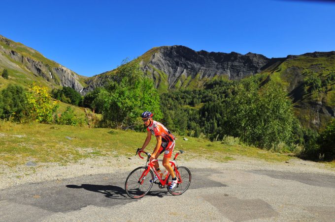
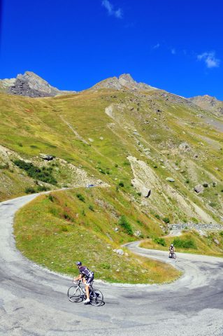
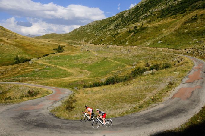
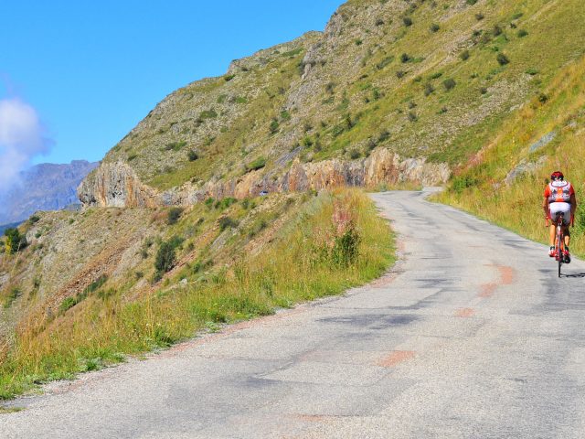
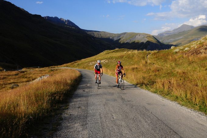
This itinerary will take you along the wild and wonderful roads of the Ferrand Valley. The first part is a good leg-warming stretch before you start the gruesome climb up to the Col de Sarenne. You will meet more sheep than cars on the road!
About : Alpe d’Huez, the wild climb
Itinerary no. 6 of the “Cycling in Oisans” guide (Oisans Tourisme)
Departure / Arrival (loop): Bourg d'Oisans 720 m
Time: 3 h
Distance: 52 km
Highest point: 1999 m
Lowest point: 720 m
Total ascent: 1705 m
Max. gradient: 12%
Map: Michelin Local Map no. 333 Isère, Savoie
ITINERARY
From Bourg d’Oisans, follow the D1091 towards Briançon until the Chambon dam. On this stretch, you will pass through 4 lit tunnels. For your safety, make sure you are visible.
Cross the Chambon dam and after 200 m turn left to Mizoën. Follow the road (D25 then D25a) up to Clavans-le-Haut and Col de Sarenne.
At the pass, you are now on the highest point of your route: 1999 m. You can take a break at the refuge of Col de Sarenne, then all you have to do is let yourself race down to Alpe d'Huez following the tarred road
Once in the Bergers area, take left at Europe roundabout in order to go back to Bourg d'Oisans. Or, if you are really set on reaching the centre of the resort via THE bend no. 1, go straight on...
THAT LITTLE BIT FURTHER: Besse en Oisans
You could add a trip up to Besse en Oisans. This is a listed village that is well worth going out of your way!
At the top end of the village, don’t miss the traditional bakery that is renowned throughout the region for its delicious bread baked in a wood-fired oven.
---
Distance (R/T): 8 km
Total ascent: 305 m
Time: 45 min
En bref
3 h 00
J+ : 1705 m
52 km
Level red – hard
Map and GPX marking
Alpe d’Huez, the wild climb
Le Bourg-d'Oisans
Services
Activities
- Duration of the session: 180 minutes
Tours
- Average duration of the individual tour: 180 minutes
Opening
From 01/04 to 31/10.
Subject to favorable snow and weather conditions.

