
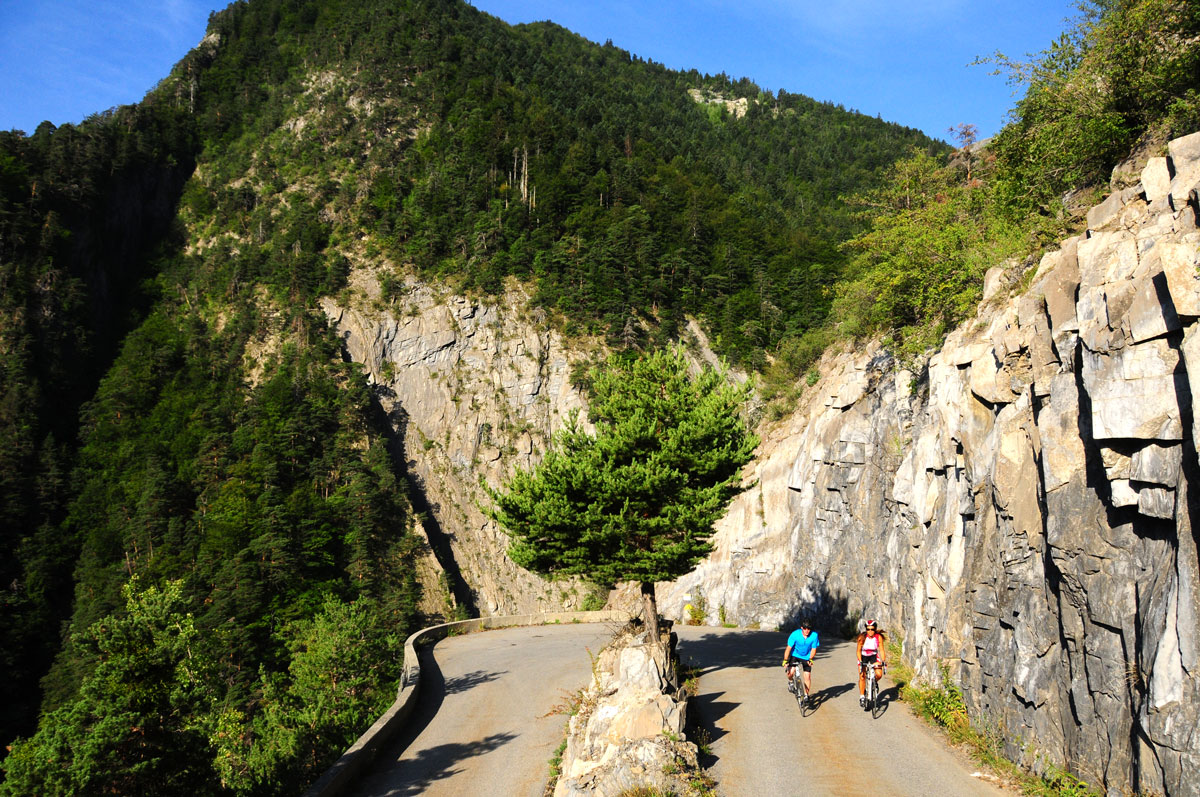
The steep climb to Oulles
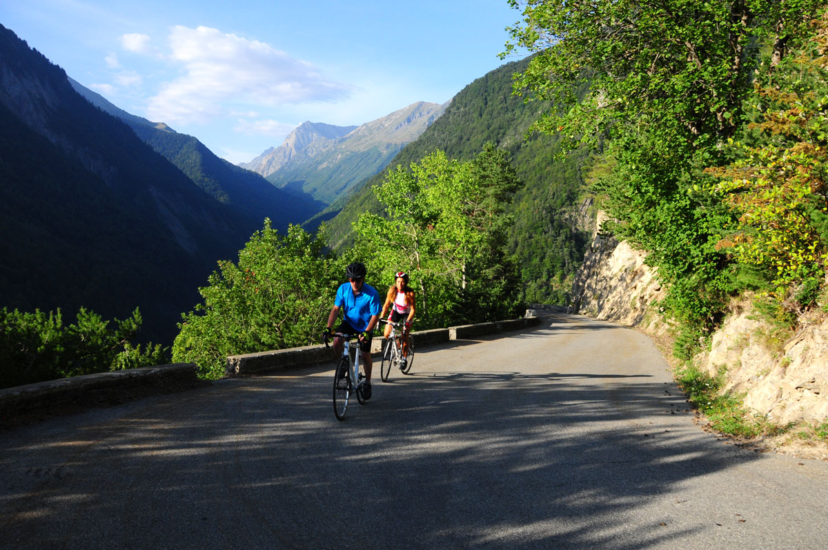
The steep climb to Oulles
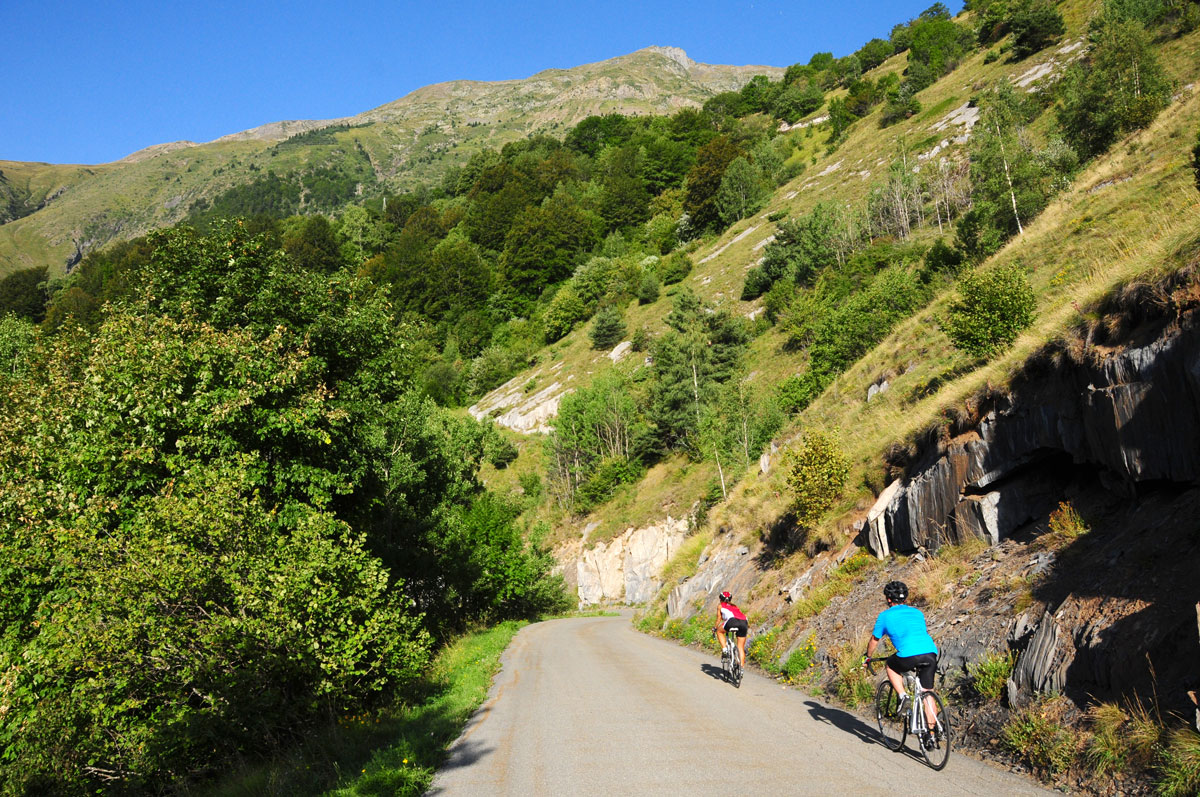
The steep climb to Oulles
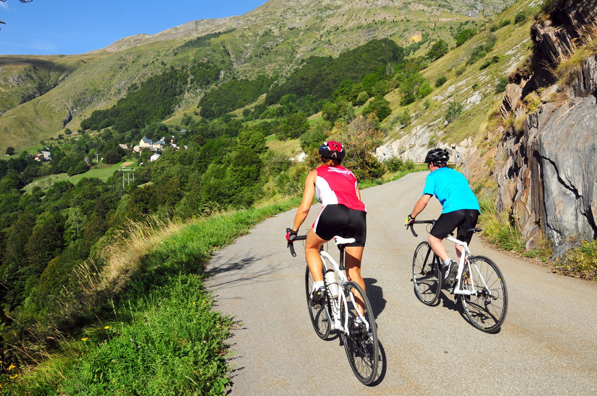
The steep climb to Oulles
The 7 km of hairpin bends are quite strenuous, but the uphill ride remains pleasant on this small and little-used road. There is a somewhat Mediterranean feel to this south-facing, wind-sheltered slope with its covering of pine trees!
About : The steep climb to Oulles
This route is available on the "Vélo en Oisans" map (Oisans Tourisme)
Start/End: Bourg d’Oisans 720 m
Duration: 1 hr 15 min
Distance (round trip): 22 km
Maximum elevation: 1,400 m
Minimum elevation: 716 m
Elevation gain: 768 m
Maximum gradient: 10%
Map: Michelin Isère and Savoie Department Map No. 333
ITINERARY
From Bourg d’Oisans, take the D1091 toward Grenoble.
After 2 km, turn left toward “Ornon / Oulles” onto the D526.
After 1.6 km, turn right onto the D221 toward Oulles.
Ahead lie 7 km of hairpin turns on a steep incline… all the way to the end.
This road is a “dead end,” so the return trip follows the same route.
HISTORY
Oulles, the smallest town in the Isère department, has only been accessible by a road carved out of the rock since 1963. Nestled in a location that was until recently inaccessible, this small mountain village, facing La Meije and the Écrins Massif, has retained all its charm.
In the Middle Ages, silver-bearing lead was mined here.
En bref
1 h 15
J+ : 768 m
22 km
Level red – hard
Map and GPX marking
The steep climb to Oulles
Le Bourg-d'Oisans
Services
Activities
- Duration of the session: 75 minutes
Tours
- Average duration of the individual tour: 75 minutes
Opening
From 05/01 to 10/31 : open daily.